Landscape history of the Long Preston floodplain
Ice and meltwater
Until about 14,000 years ago much of the Yorkshire Dales and the Pennines were covered by a thick layer of ice which slowly flowed down the Ribble valley and south-east into the Aire valley. As the ice melted, huge volumes of water flowed in the same directions.
In some places the ice carved deep valleys and sometimes laid down, or deposited, thick layers of fine silt or clay. Analysis of these layers for the Long Preston area shows that the deposits were laid at the bottom of a lake and not in a river. The lake was not deep but it filled the valley between Long Preston and Rathmell, up to the 130 metre contour line - as high as the railway line in fact. It stretched south from Settle to beyond Cow Bridge, and was probably blocked at Arnford Wood by a glacial moraine.
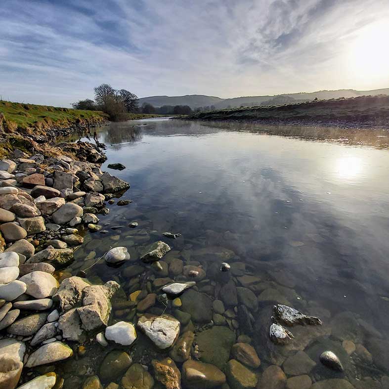
The lake was emptied when the force of water broke through the moraine dam. A river then flowed out of the Dales across the old lake bed - this is what we know as the Ribble. Over time the river also laid down various deposits in layers.
Prehistoric activity
The floodplain has historically been too wet for people to permanently settle on it. People always chose to live on higher land. During the Mesolithic period (Middle Stone Age), between about 9,000 and 6,000 years ago, bands of people came here to exploit the many natural resources.
There is evidence from archaeology that people visited or settled on the edges of the floodplain through the Neolithic (New Stone
Age), the Bronze Age and the Iron Age.
Early farming
We do not know how long people have been farming in this area, but the use of digital terrain mapping or LIDAR has shown that much of the area between Rathmell and Wigglesworth was used for growing crops in strips during the mediaeval period (Middle Ages). You can see on the LIDAR image that the strips are slightly curved, like a very shallow ‘S’. These are raised ridges with lower furrows in between crops grown on the drier soil.
Place-name clues
Names of farms and villages can give us clues to how old they might be and which people may have first permanently settled there for example:
Wigglesworth is Old Norse and means the enclosure of a man called Wincel.
Long Preston is Old English and means the priest's farm.
Mearbeck is partly Old English (the boundary) and partly Old Norse (stream).
Rathmell is Old Norse and means the red sandbank.
Skirbeck is Old Norse meaning the bright stream.
Restoring lost habitats
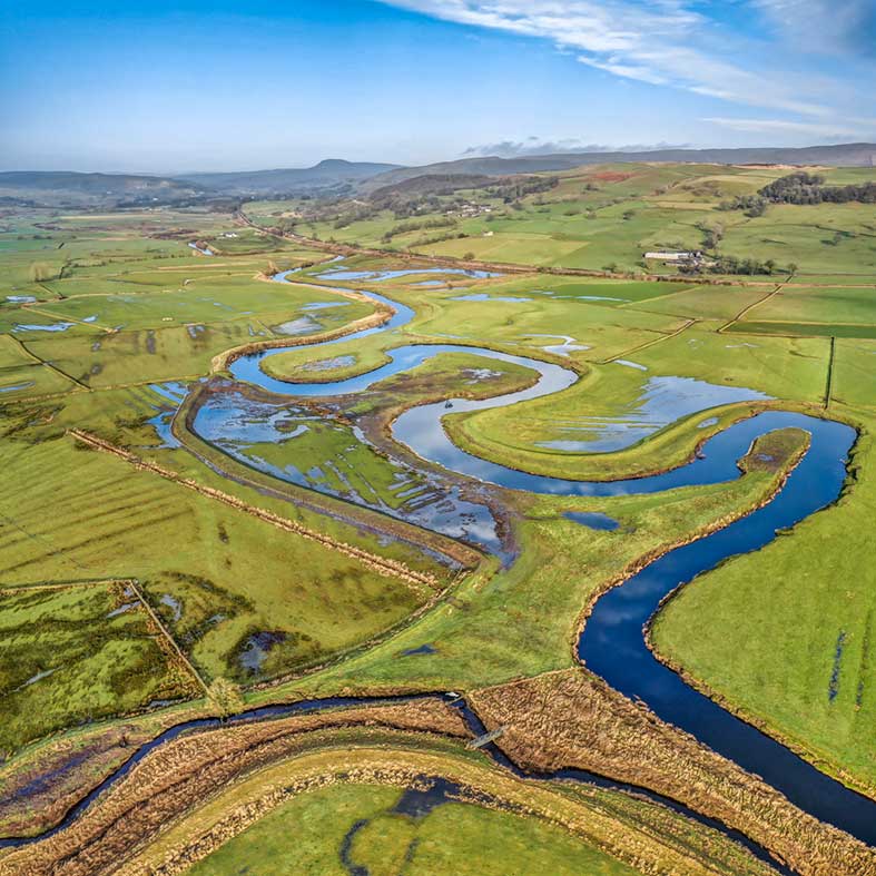
From the early nineteenth century much of the floodplain was drained and the river was enclosed behind floodbanks to make the land more productive for livestock farming. This had an impact on many species of plants and animals as natural wetland habitats were lost. The river also lost its ability to behave in a natural way with weirs and other structures affecting the bankside vegetation and fish populations.
Working with farmers and landowners to restore natural river processes, manage grazing and water is key to achieving these aims. The Long Preston Floodplain Project was set up in 2004 to help integrate wetland and river management for wildlife into a profitable and sustainable farming economy, and to provide other wider benefits to the community. Find out how we're working to protect and enhance the floodplain.
Find out more about the floodplain
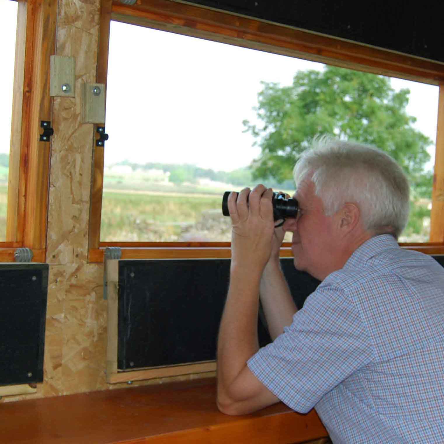
Visit the Long Preston area
With its beautiful scenery, abundance of wildlife and friendly local community the Long Preston area has lots to offer visitors.
Protecting our wetlands
The Long Preston Floodplain Project is a genuine collaboration between landowners and organisations coming together to create a healthy floodplain.
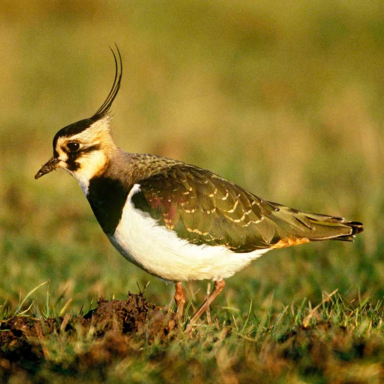
Wetland wildlife on the floodplain
The wet grasslands of the Long Preston floodplain are a haven for wildlife and a priority habitat for breeding wading birds.


