Visit Long Preston floodplain
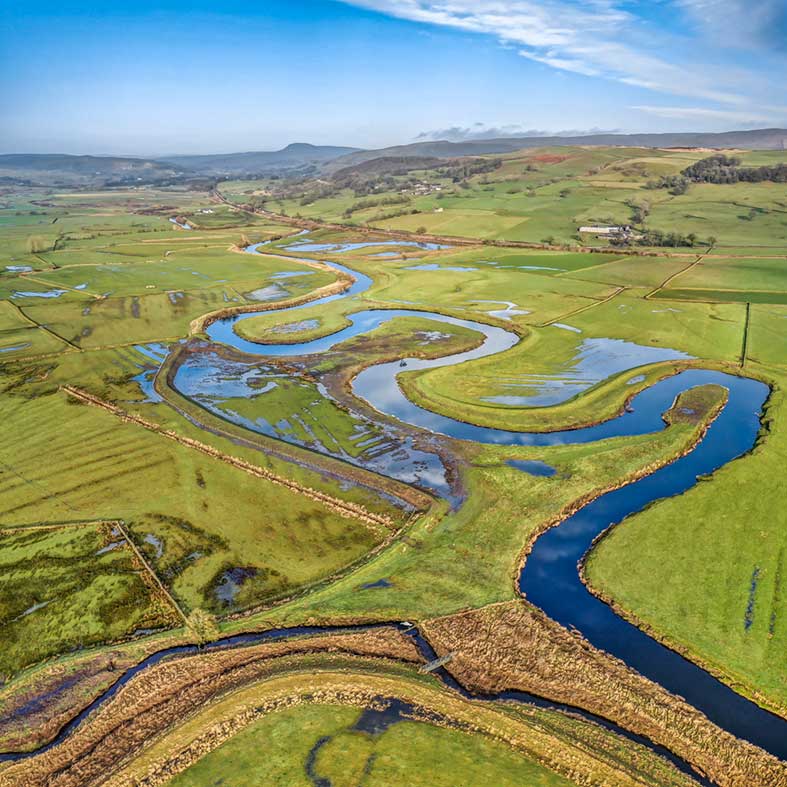
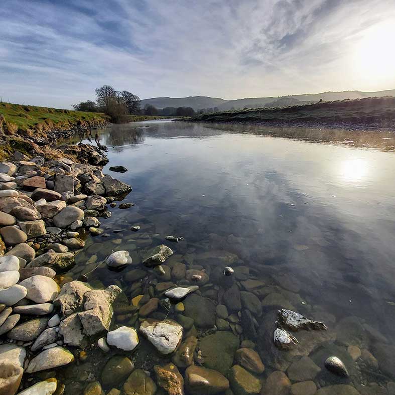
Situated to the west of the village of Long Preston and south of the town of Settle, the Long Preston floodplain area, known locally as Long Preston Deeps, covers approximately 766 hectares in the upper reaches of the River Ribble.
With its beautiful scenery, abundance of wildlife and friendly local community the Long Preston area has lots to offer visitors whether it’s a day out or you are planning a longer stay.
If you’re visiting please support our local businesses where you can.
How to get there
The main way to access the floodplain is via the Ribble Way. You can get onto the Ribble Way from Settle, Giggleswick, Rathmell, Wigglesworth or Long Preston.
- Bus - there are regular bus services to Settle, Giggleswick, Rathmell, Wigglesworth and Long Preston. Bus Timetables Long Preston
- Train - there are stations at Settle, Giggleswick and Long Preston. Train timetables Long Preston area
Walks in the Long Preston floodplain area
Download a Map of the Long Preston floodplain area here. You can also find maps and guides to walks in and around the area below.
Where2Walk has created a great circular walk to discover the best of Long Preston Deeps. Head off from Long Preston train station (where there is parking) and join the Ribble Way as it makes its way through the floodplain, Rathmell and along the River Ribble to Settle. The return from Settle to Long Preston is over the delightful Old Road with beautiful views over Ribblesdale and beyond to Pendle Hill. See the Where2Walk Long Preston Deeps walk guide with maps and photos.
The Long Preston floodplain area is privately owned and should only be accessed using the Public Rights of Way. Please respect the marked paths and follow the countryside code.
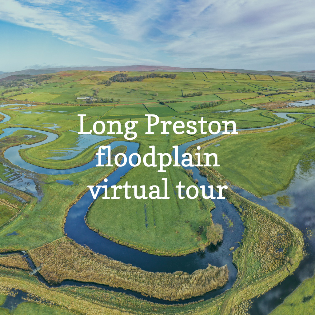
Take a virtual tour of the Long Preston floodplain
Explore the Long Preston floodplain and discover it’s wildlife and history with this unique birds-eye view of the area through the seasons.
Bird and wildlife watching
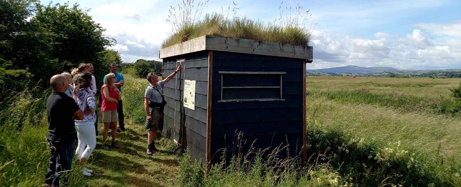
There are good opportunities for bird watching in the Long Preston floodplain area and from surrounding roads. A bird hide can be accessed along the Ribble Way, north from Cow Bridge. Car parking is very limited so please ensure that you do not block any roads or access tracks.
The Long Preston Bird Report recorded a total of 128 species in the area in 2019, of particular note were scaup, green sandpiper, shelduck, reed warbler, garganey, whimbrel, great white egret, hoopoe and marsh harrier.
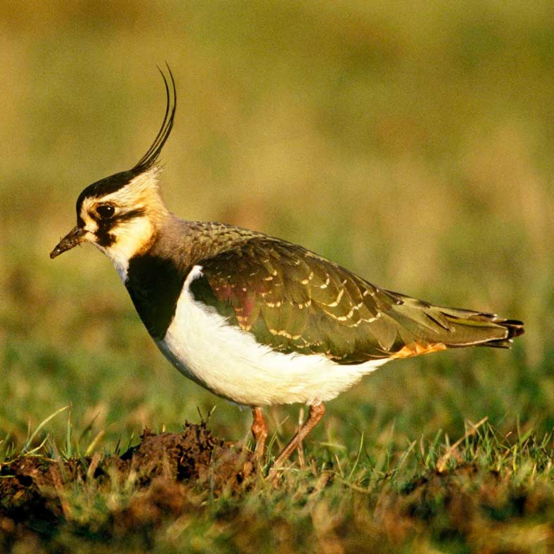
The floodplain is important for several species of breeding wading bird of conservation concern, like snipe, lapwing and redshank. These birds come to the floodplain in spring every year to nest and raise their young before leaving the floodplain, usually by late July, after their chicks have fledged.
Other species of birds are found here mainly in winter, including pintail, wigeon, teal and shoveler. The wetlands and the river provide them with ideal feeding grounds and sites for roosting.
Learn more about birdlife on the floodplain.
We’d encourage you to record your bird sightings in the area on BirdTrack or use the log book provided in the bird hide.
Find out more about the floodplain
Managing the wetland environment is essential to help create a healthy biodiversity-rich floodplain.
The Long Preston Floodplain Project area is of national importance for breeding wading birds.
What we see today on the floodplain is the result of natural processes modified by people over thousands of years.
History of the Ribble floodplain landscape


